V 2.56.15
Bug Fixing :
- Fixed an issue in certain projects where points displayed on the map could not be selected.
- Points on the map can now be selected, and the corresponding data details are displayed correctly.
- Fixed an issue in certain projects where points displayed on the map could not be selected.
- Points on the map can now be selected, and the corresponding data details are displayed correctly.
Improvements in GEO
- Added the Created At column type.
- Optimized the Import Data feature to improve the data loading process
- Fixed an issue where the Isochrone feature could not be used because the API request returned a 401 Unauthorized response.
- Fixed an issue where the table remained open and stuck on "Loading Layer Data" after the layer was disabled.
- Fixed an issue where layers with large amounts of data sometimes got stuck on "Loading Data".
- Fixed the display of long file names in the Document field to prevent layout issues.
- Fixed access permissions so users with the Viewer role can View and Download files from the Document field.
- Fixed an issue where the data popup did not appear for polygons imported through Import Data.
- Fixed an issue where Required to Login did not work when enabled together with Form Public.
- Fixed an issue where a Private Form with Required to Login continued to display the "Form Cannot Be Loaded" page after the user successfully logged in until the page was refreshed.
- Fixed validation to prevent layers from being saved without entering a Layer Name.
- Fixed an issue where data failed to load and displayed a Network Error due to the Get Data Premium API returning a 504 Gateway Timeout.
- Fixed an issue where some numeric values were missing when exported GeoJSON files were opened in QGIS.
- Fixed an issue where the Search button could not be clicked or used.
Improvements in FORM MAPID
Improvements in GEO MAPID
Improvements
Bug Fixes
1. Map Editor
- New Feature: Compact List
- New Column Types: ID Data
- New Column Type: Last Edited
- New Column Type: Edited By
- New Column Type: Longitude
- New Column Type: Latitude
2. Minor UI Improvements
- Enhanced Fullscreen View for SINI AI Site Analysis
- Improved Checklist Icon on Checkbox
- Improved Legend Display
- Enhanced Layer Editing Interface
- Hidden “Upload File Documentation” Button in GEO MAPID
- Added Email Input in Profile Section
- Added OTP Verification when Editing Phone Number
3. BUG FIXES:
- Fixed issue where publication titles appeared too close together.
- File upload popup now remains visible when users switch screens.
- Fixed Error 400 on the Redeem MAPID Code feature when the entered code is invalid.
- Corrected styling of numeric layers below the slider to display properly.
- Improved responsive layer display in mobile mode to prevent disappearance when switching views.
- Fixed Error 500 during resume generation when data is empty.
- Table data is now displayed in order even after refreshing.
- Added OTP validation when users enter the wrong code.
- Added phone number validation to prevent the use of already registered numbers.
- Improved profile page responsiveness across various device screen sizes.
- Fixed error in Toolbox Grid.
- Fixed issue of disappearing layers in mobile view.
- Corrected wording in SINI DATA pricing.
- Fixed issue where the map could not be clicked on Site Analysis.
- Fixed slider issue in 3D flood visualization.
- Fixed error occurring when the table in a project is open.
- Corrected mismatch in population data within Site Analysis.
- Fixed data editing issue in the map editor table.
- Fixed decimal bug in mathematical operators.
- Fixed table filter issue in map editor.
Hello GEO MAPID users,
We are pleased to announce that GEO MAPID has now been updated to version 2.55.03. This release focuses on bug fixes and system stability improvements, ensuring a smoother and more optimal experience when using GEO MAPID.
1. Site Analysis
2. Group
3. Dashboard
1. License
2. Data
3. Site Analysis
4. Map Geo
5. Form MAPID
In this update, GEO MAPID brings a major refresh to make your experience even more practical, streamlined, and powerful.
We’ve migrated key features to make them easier to use: now, all the most powerful tools are grouped together in the SINI. This way, you can access everything faster and more efficiently.
So, what’s new? Let’s dive in!
The Insight feature has now officially evolved into Site Selection and is fully integrated under a new tab called SINI.
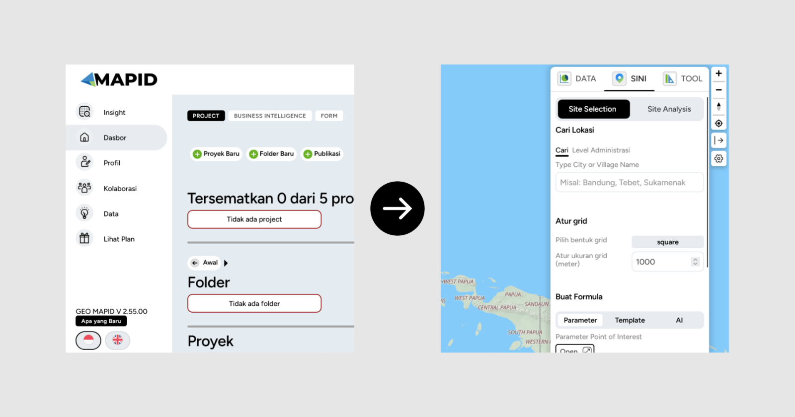
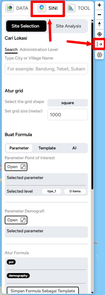
Inside Site Selection, you’ll find several powerful new capabilities:
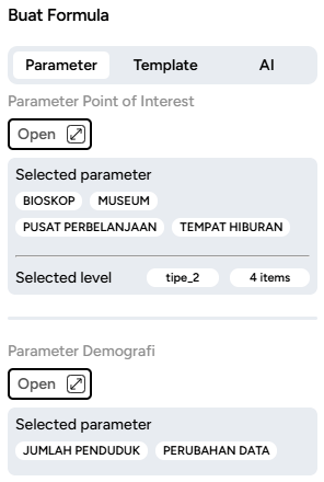
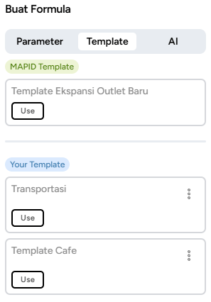
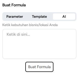
And the best part—once you’ve created a formula, you can save it as a template for future use!
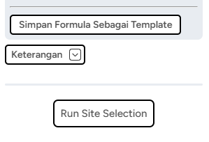
Save the formula name as you want.
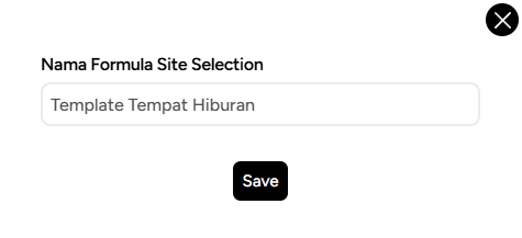
From now on, SINI becomes the central hub for all the essential tools in GEO MAPID. With this change, SINI officially evolves into Site Selection, giving you one place to access all your favorite features.
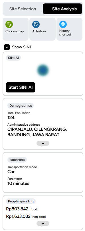
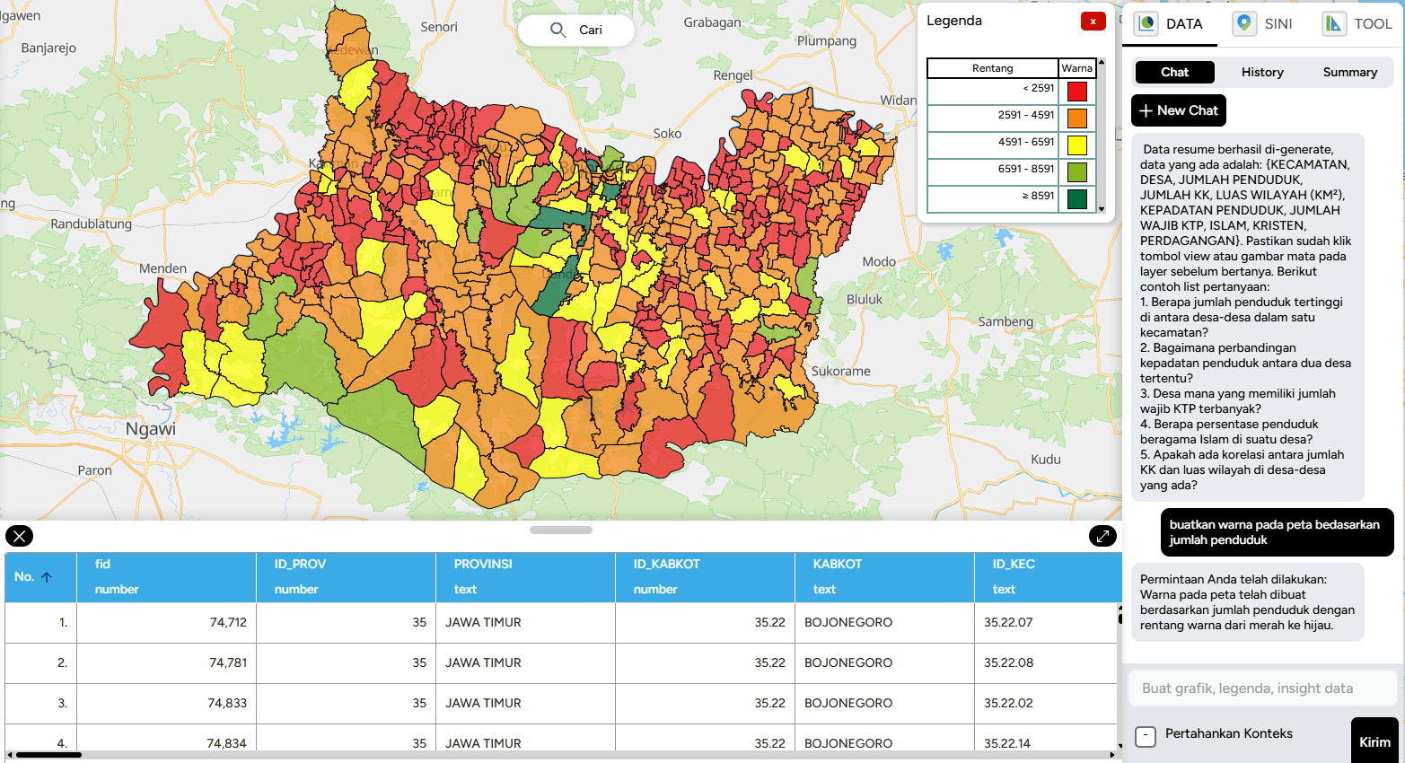
Too much data giving you a headache? Now there’s SINI DATA, ready to help you process everything with ease.
Powered by AI, SINI DATA can automatically process data layers and deliver the best results to support your tasks. No more hassle — just use SINI DATA, let AI do the work, and enjoy the outcome.
In this latest update, GEO MAPID has carried out a comprehensive user interface design update to enhance consistency and user experience across the entire platform.
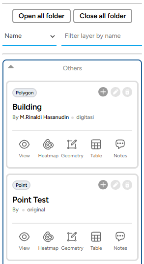
The layer card display now comes with a clean and modern black-and-white theme, providing a minimalist and visually comfortable appearance.
In addition, the card design has been refined to be more neat and structured, making it easier for users to navigate and manage projects more efficiently.
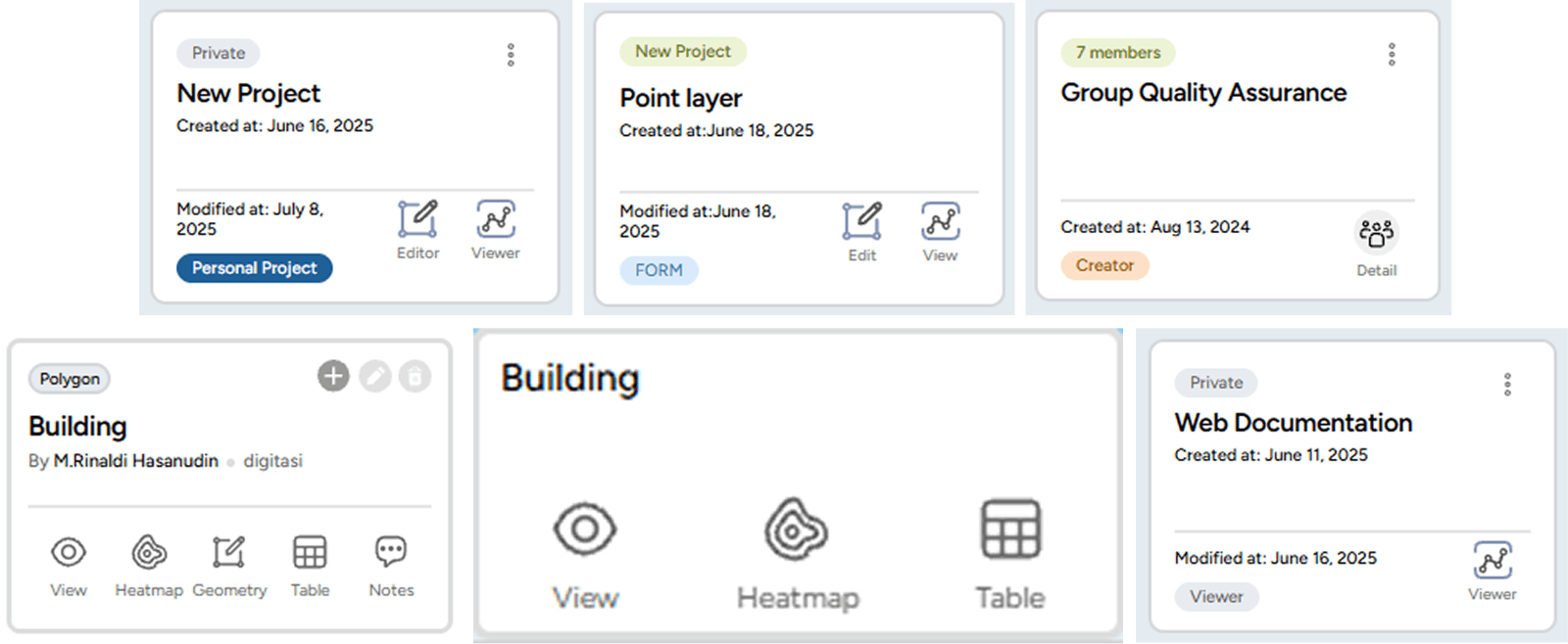
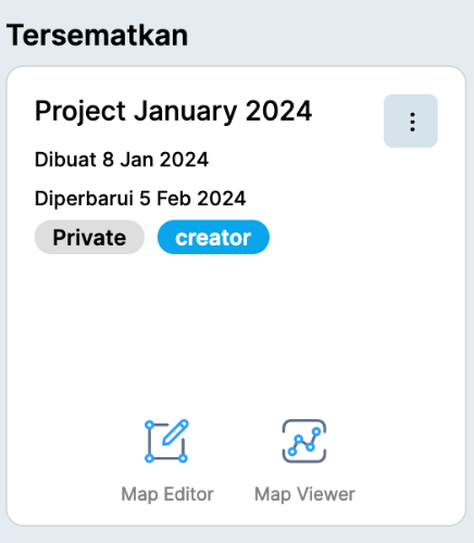
Displays pinned projects with role information (Personal Project, Creator, Admin, Contributor, Viewer) along with project information (Private / Public).
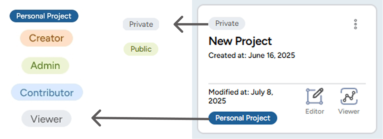
Each project status is now equipped with specific colors to help users easily distinguish the purpose and access rights of each role within the project.





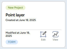
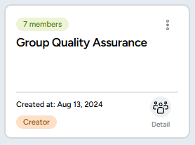
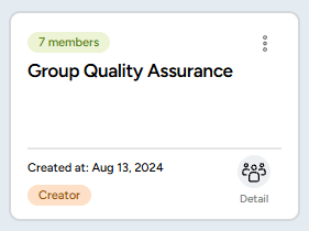
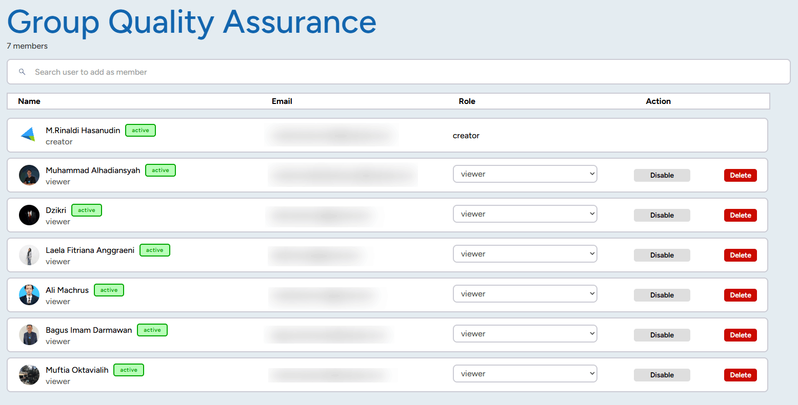
Users can now invite members into collaboration groups according to the number of collaborators included in their purchased license. Invited members will have admin-like access and can explore the entire GEO platform.


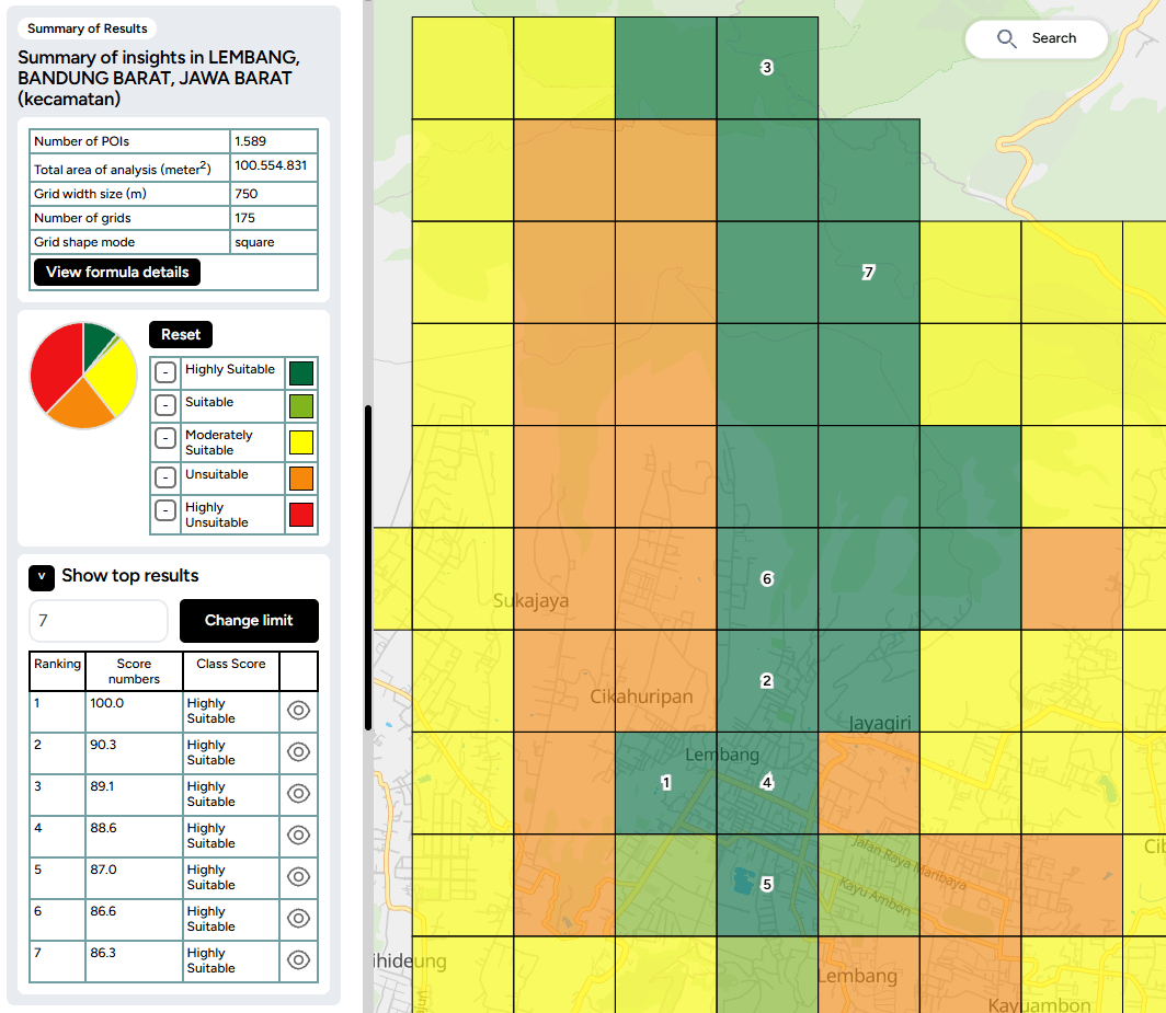
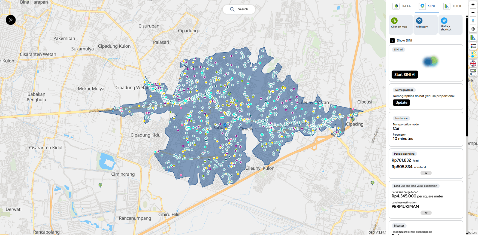
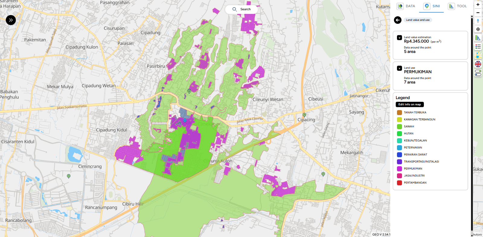
In the latest SINI update, visual enhancements have been implemented to improve data clarity on the map:
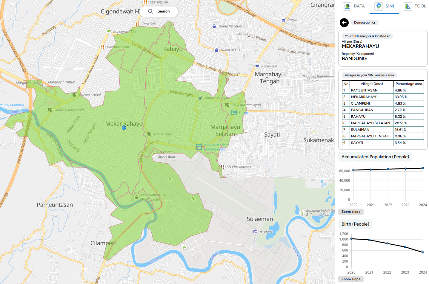
SINI is now equipped with a proportional demographic data update feature, which allows users to:
Bug Fixing:
1. Import Data Editor
2. Map
Improvement in GEO:
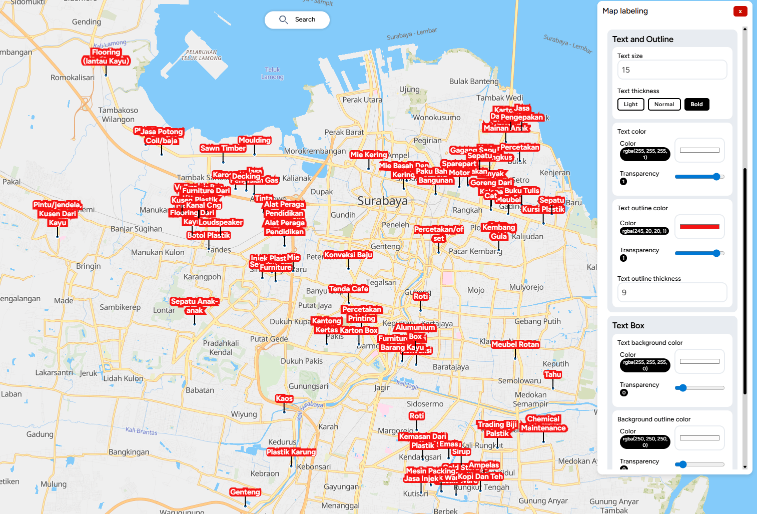
Map labeling is the process of displaying textual information on geographic features within a map. These labels usually contain place names, object descriptions, or specific attribute values that make it easier for users to understand spatial data.
Effective labeling enhances map readability and provides clearer context for the displayed data.
Below is a visualization of the successfully created labels.
What's Missing:
Improvement in GEO:
1. Separated the registration flow and display between personal users and company users to better suit each user type.
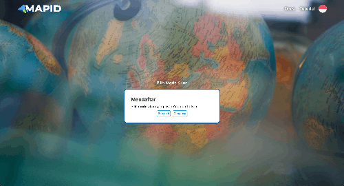
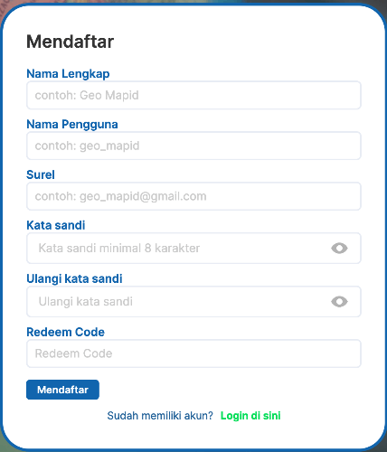
2. Replaced the industry field with a redeem code field in the registration flow for personal users.
3. Added a dedicated card in the profile section to enter Academy license codes.
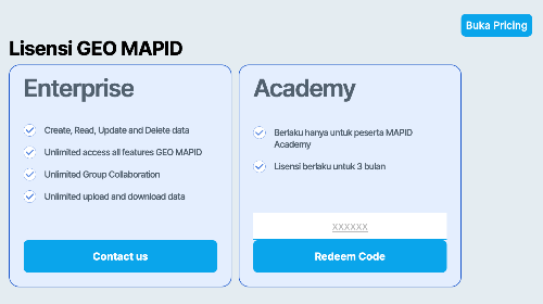
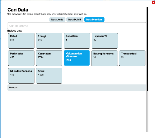
4. Changed the loading text from “No data available” to “Searching” to provide clearer information to users.
Bug Fixes:
Improvement in GEO:
1. New feature added: Pin Project
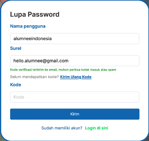
2. Updated the “Send” button text on the Forgot Password page for resending OTP codes, which has now been changed to “Resend Password”.
3. Changed the “Send” button text on the Forgot Password page for sending OTP codes, which has now been changed to “Submit”.
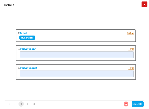
4. Added a feature to delete data directly from the data popup, making data management easier.
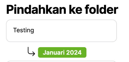
5. Added clearer color indicators when users select a sub-folder to store their project, reducing the risk of saving to the wrong folder.
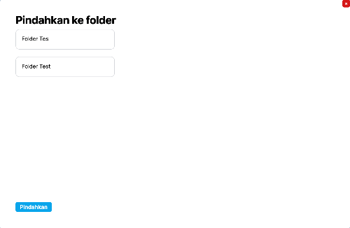
6. Added a feature to move folders into other folders, supporting more flexible folder structure management.
FORM v2.52.47
Improvement in FORM:
Bug Fixes