Geospatial Data for Smarter Public Sector Decisions
MAPID supports government institutions with location-based tools to enhance planning, manage risks, and optimize infrastructure development.
Trusted by top organizations



Location-Based Insights Improve Public Sector Performance
Reliable location data helps governments make faster, more accurate decisions—from infrastructure planning to emergency response and policy execution.
Discover What MAPID Solution Can Do
MAPID equips government agencies with tools to improve infrastructure planning, monitor environmental changes, and support effective policy-making.

Urban Planning & Development
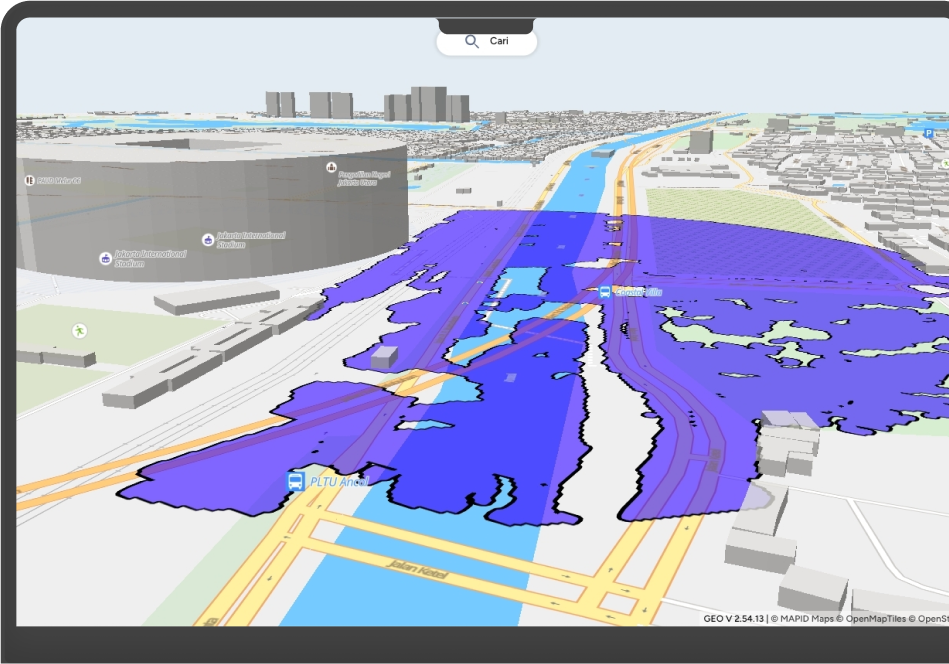
Monitor flood-prone or high-risk areas and respond faster with integrated real-time data.

Disaster Management
Assess market reach and purchasing power to enter new areas more strategically.

Asset Management
Track public assets like roads and buildings to ensure proper maintenance and budget allocation.

Environmental Monitoring
Monitor land cover change, track environmental degradation, and assess carbon stocks as key indicators for sustainable development planning.

Public Services Improvement
Use commuter data and mobility patterns to improve transport services and accessibility.

Policy Making & Evaluation
Support decisions with location-based data and measure policy impact across regions.
Stories from Our Clients
Support Effective Governance with Location-Based Innovation
From disaster mitigation to asset planning, MAPID equips public institutions with accurate data and real-time visualization to support effective policy delivery.