/Landing+Page+-+Home+(Revamp)/Hero-Landing-Page-2+(4).gif)
Location Analytics,
Built for Business
Drive strategic planning and operational execution with location analytics, built for both enterprise systems and professional platforms.
Drive strategic planning and operational execution with location analytics, built for both enterprise systems and professional platforms.
Used by Organizations Across Industries


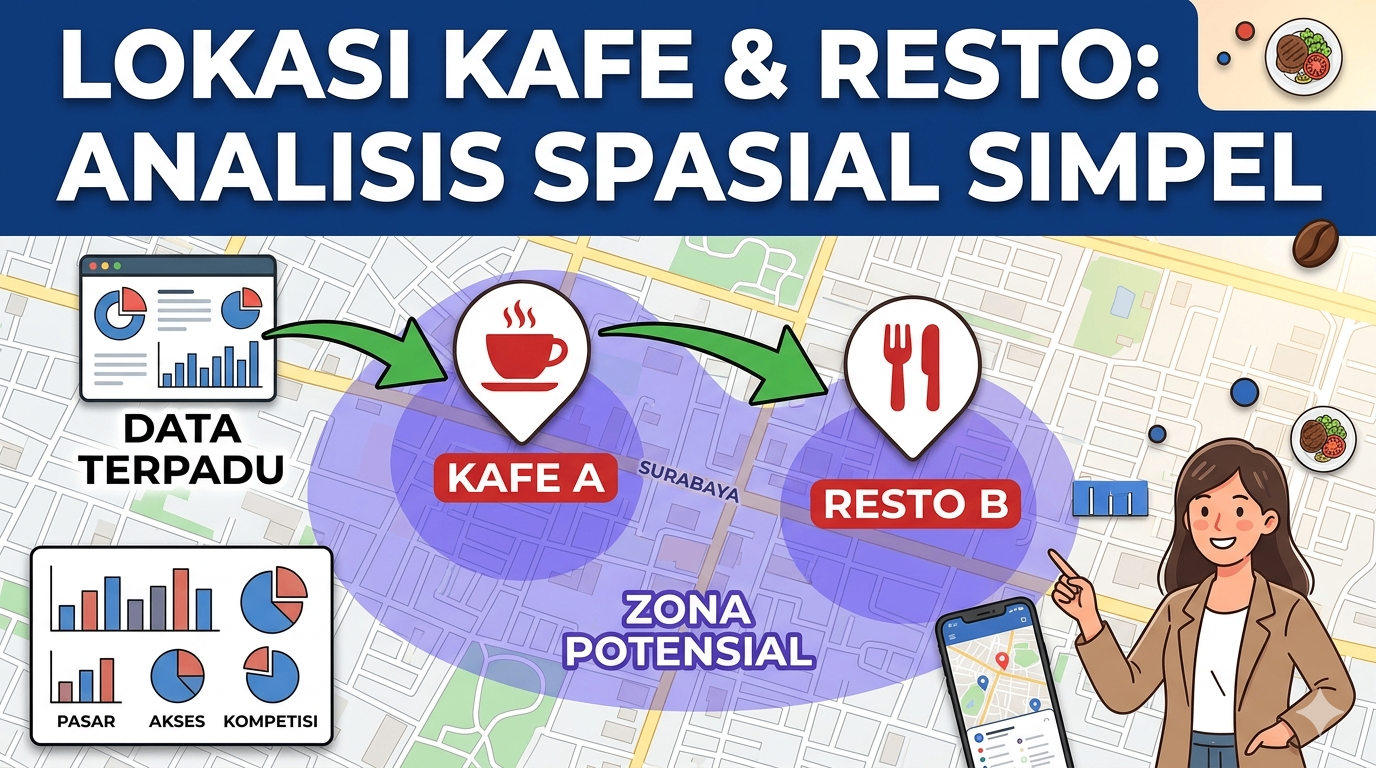
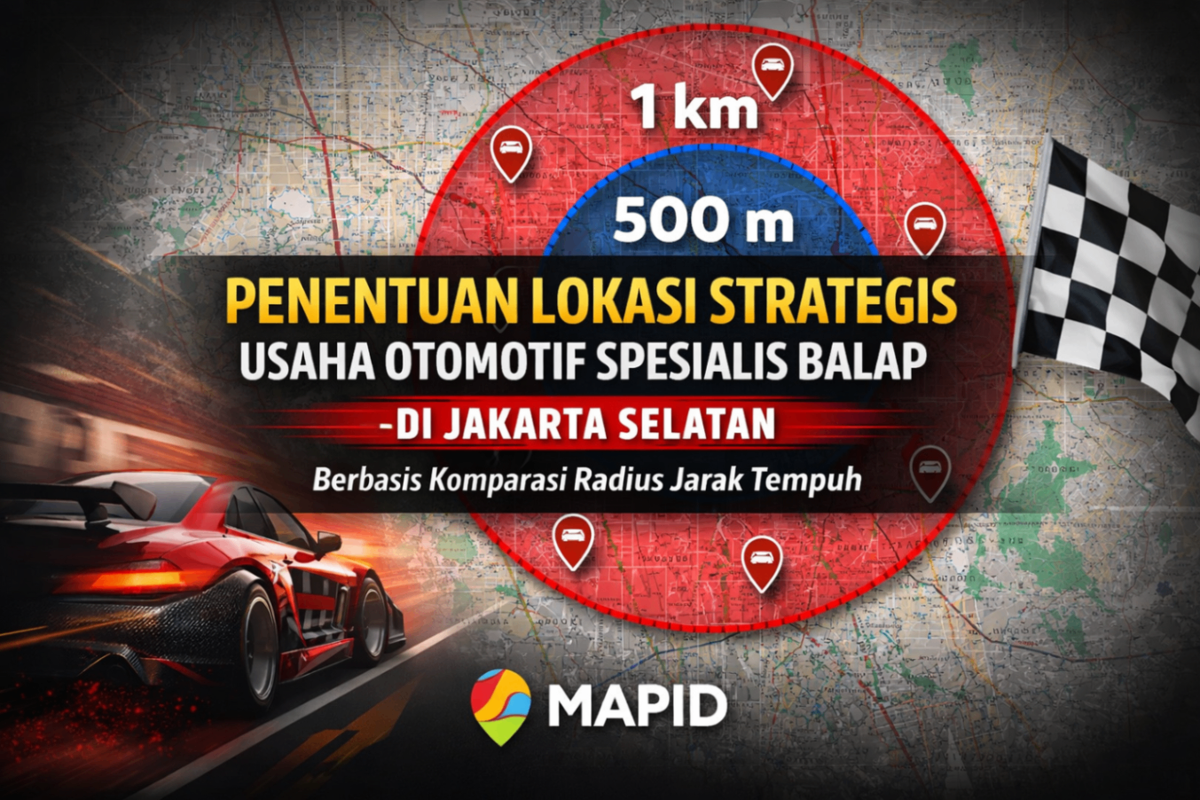
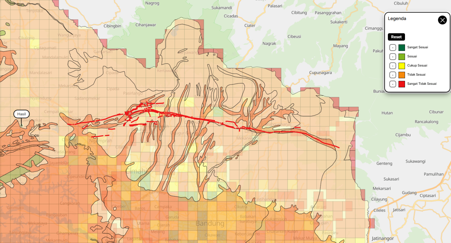
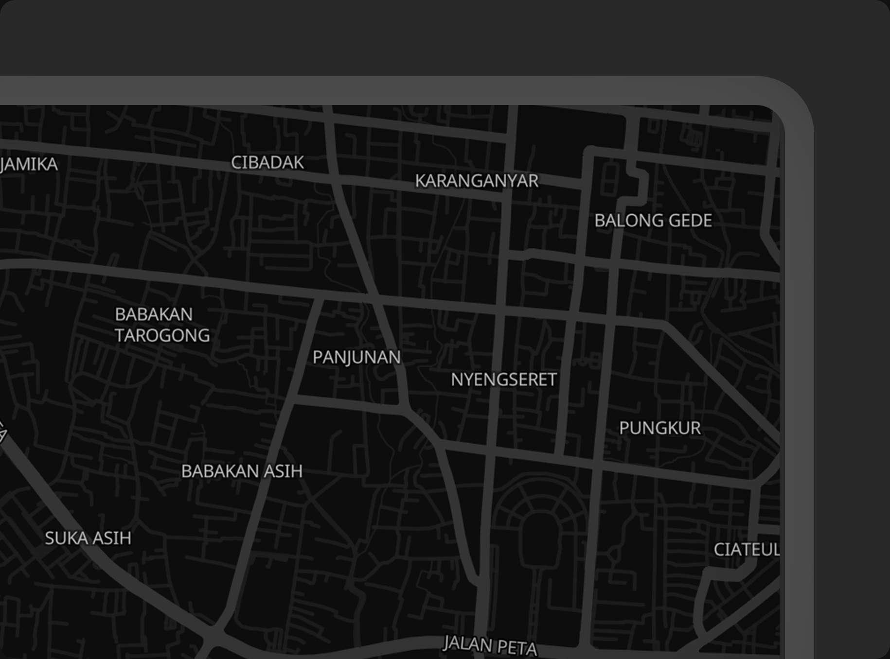
Site selection is choosing the best locations for businesses or facilities based on factors like accessibility, demographics, and competition.
/Landing+Page+-+Home+(Revamp)/Site-Selection+(1)+-+assets.gif)
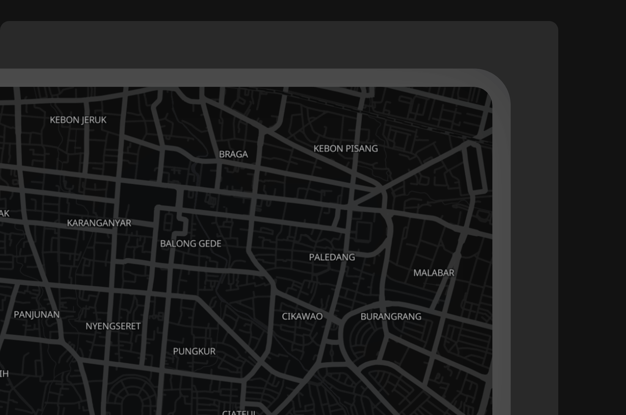
Centralizing property and asset data to create a unified system, while also improving asset operations for better management and performance.
/Landing+Page+-+Home+(Revamp)/Asset-Management+-+assets.gif)
Leveraging geospatial data and field surveys to identify customer segments and plan business growth.
Streamlining data collection processes by integrating geospatial tagging and real-time visualization.
Integrating IoT data to boost operational efficiency and enable predictive analytics for better decision-making.
A smart solution that simplifies sales planning, boosts efficiency, and helps your team focus on strategy and results.
/Landing+Page+-+Home+(Revamp)/sales-planning+-+assets.gif)
(GEO MAPID + FORM MAPID)
A Cloud-Based location analytics platform for spatial modeling, interactive visualization, and structured data collection, built for both business users and geospatial professionals.
(SINI AI + SINI DATA)
Instant spatial analytics and AI-powered capabilities designed to extract deeper insight from spatial data.
A map-powered application layer designed to support spatial collaboration, survey execution, and location-based communities.
Indonesia-optimized Maps APIs powering routing, geocoding, toll calculation, and large-scale system integrations.
MAPID supports organizations operating at scale, delivering tailored location analytics systems aligned with industry-specific challenges.
Plan expansion, optimize distribution networks, and improve territory performance using data-driven geographic modeling.
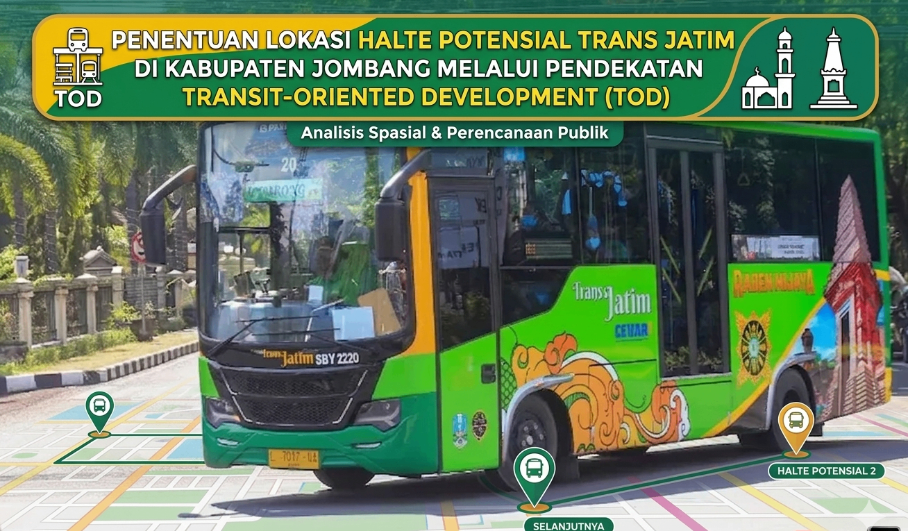
Optimize network coverage, plan infrastructure deployment, and analyze service performance using location-based modeling.
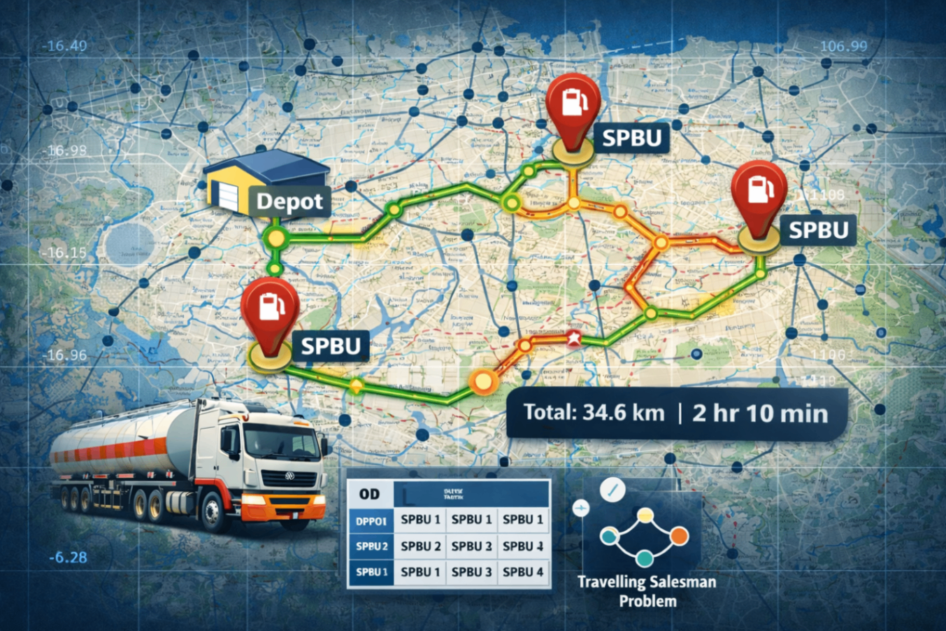
Reduce routing costs, manage fleet operations, and align dispatch systems with real-world road conditions.
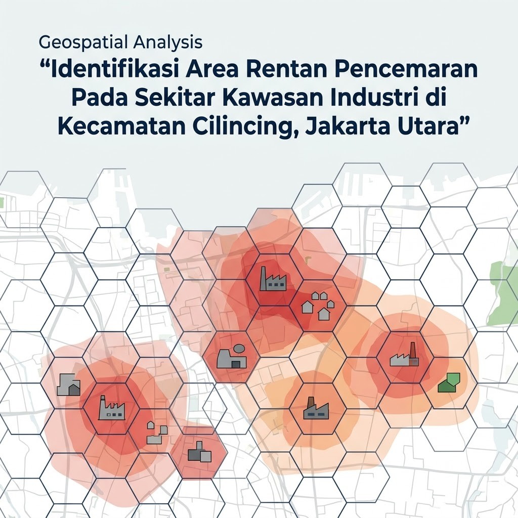
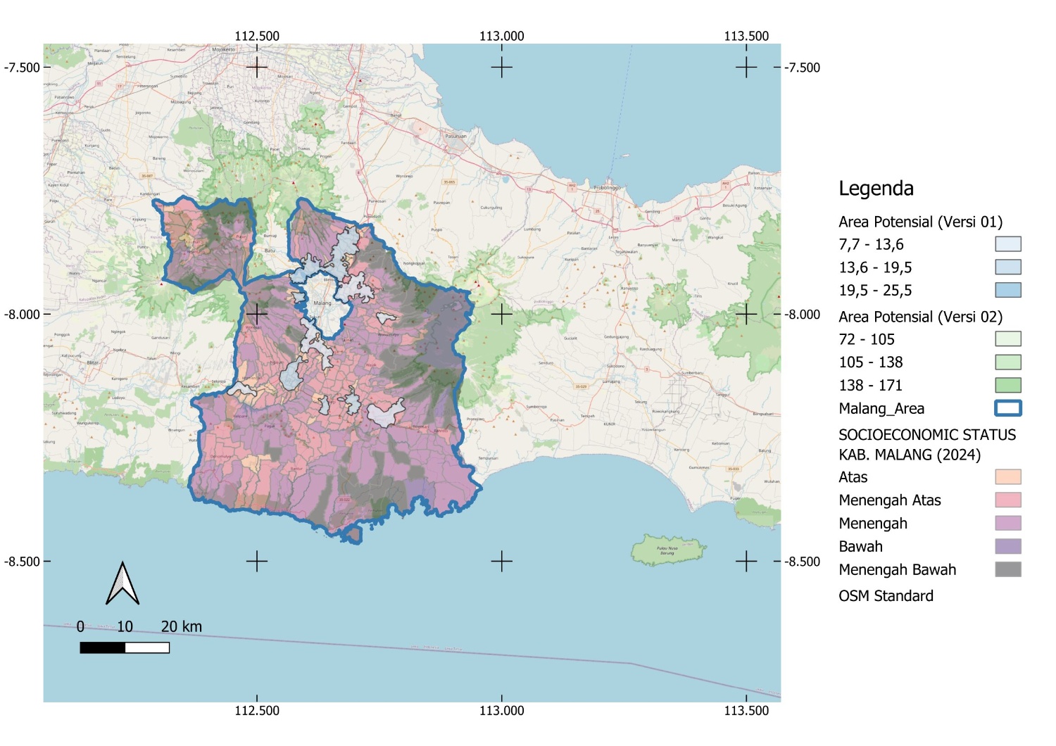
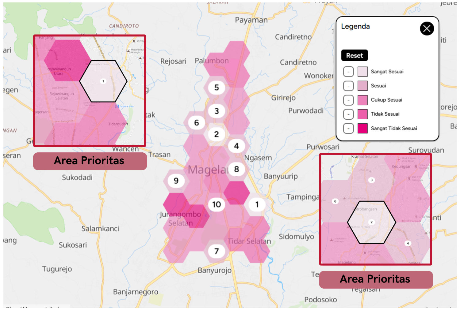
Evaluate site feasibility, assess market potential, and support investment decisions through spatial analysis.
Monitor assets, coordinate supply networks, and integrate geographic context into operational systems.
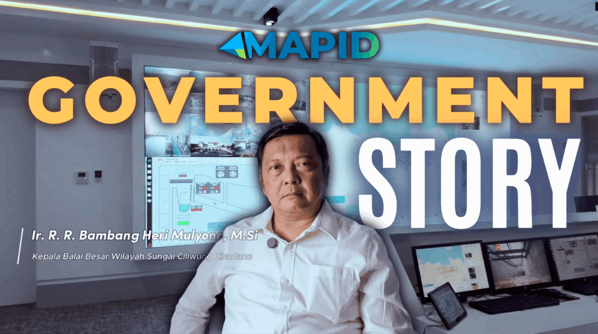
Enable planning, monitoring, and data-driven policy execution with custom spatial intelligence platforms.
Fill out the form to connect with our experts and explore the best solutions for your project or business.
/Landing+Page+-+Home+(Revamp)/CTA.gif)